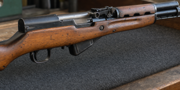
Four hundred metres from the trail tread
In Ghost PLUZ, Alberta's 400-metre trail distance, maintained-road rule, and temporary TransAlta restriction belong to separate map features. The signed restriction notice runs through August 29, 2026.

Advocacy. Four hundred metres sounds exact until the map feature disappears.
Alberta's current public-land guidance says a recreational shooter is prohibited from discharging within 400 metres of a provincial trail tread, subject to its hunting and trapping exception. The province defines the tread as the travel surface of the trail.
That distance answers one question. A road carries another. Part of Ghost PLUZ near TransAlta Road and the Ghost River carries a third, temporary restriction with a date written into the signed notice.
An August 10 community post shows how quickly those three layers can collapse into one remembered rule. The post describes target shooting seen near a road and asks whether 400 metres settles the issue. The coordinates, road classification, firing direction, trail proximity, and backstop are absent, leaving any legal finding about the reported location unresolved.
It can expose a source problem. Owners need the mapped feature beside the number.
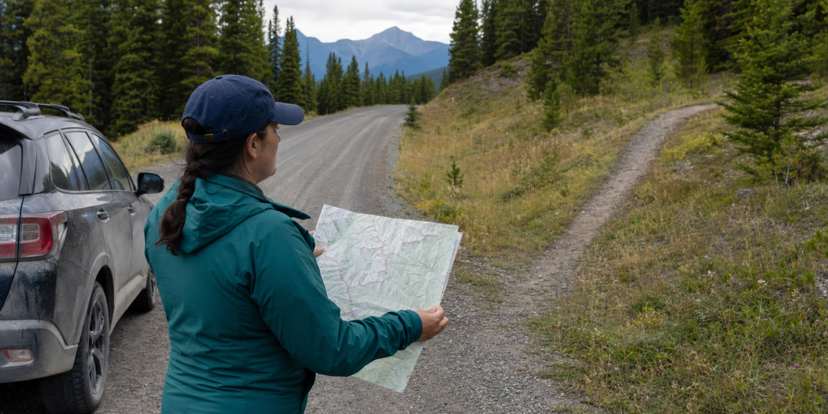
Holdover produced the feature as a representative public-land route check. The person, vehicle, map, road, trail, and landscape are fictional and do not depict Ghost PLUZ, TransAlta Road, or the location described in the August 10 post.
The 400 metres belongs to a provincial trail
Alberta's wording is specific: "within 400 metres of a provincial trail tread." On the Ghost PLUZ page, the province describes the tread as the travel surface and links a current georeferenced map of designated trails and roads.
That map work matters. A distance measured from the wrong feature produces a precise mistake.
My usual range morning starts at a club where the property boundary, firing line, and downrange direction have been decided before I take a case out of the vehicle. Public land hands that work back to the owner. The first job is identifying the land and the mapped feature underfoot. The distance comes afterward.
This also keeps a sensible rule inside its purpose. Provincial trails carry hikers, riders, and off-highway vehicles through the same country. A 400-metre buffer around that travel surface gives the moving public a defined space. The rule stays usable when the trail remains visible in the sentence.
A maintained road carries a separate rule
The same Alberta guidance prohibits a person from discharging a firearm or bow from, or causing a projectile to pass along or across, a provincial highway. It applies the same language to a road that is paved, oiled, graded, or regularly maintained, then lists limited exceptions.
That is a different test. It asks where the discharge occurs and where the projectile travels. The provincial-trail provision asks whether the discharge point sits within 400 metres of the tread.
A shooter standing some distance off a road still has to know the road's classification, the firing direction, and the land beyond the target. A forum description such as "by the roadside" lacks those facts. A single pin dropped on a phone also needs the current land-use layers.
Alberta's own trip-planning advice tells visitors to follow signs, posted notices, and publications. Ghost's page adds a practical reason to download the current map before leaving: most of the PLUZ lacks cell coverage.
The signed notice has an August 29 clock
Ghost adds a bounded restriction area near TransAlta Road and the Ghost River. The Chief Firearms Office page describes a temporary target-shooting ban on the southern edge of the PLUZ, says other areas remain available for recreational shooting, and gives a hunting exception. Its summary still says the restriction runs "until further notice."
The signed Alberta Forestry and Parks notice is more exact. Trevor Poth issued it on March 18, 2026 to restate the restriction first noticed on August 29, 2024. It restricts firearms use in the mapped area, with the stated Wildlife Act hunting exception, and says the restriction remains in effect until 11:59 p.m. on August 29, 2026.
The two live provincial sources should use the same time language. Owners deserve a summary page and signed instrument that carry the same current clock. Until Alberta reconciles them, the dated notice gives the clearer operative term and its appendix supplies the boundary.
August 29 also needs careful handling. The date changes the restriction notice. The general 400-metre trail rule, maintained-road rule, posted closures, and the rest of Alberta's public-land conditions remain in force on their own terms.
Bring the map, then read the notice
A Ghost trip now starts with a short source stack.
- Download the current Ghost georeferenced map and identify the planned land,
designated trails, roads, and marked restriction areas.
- Read Alberta's current activity rules for the feature on the ground.
- Open the signed notice for any marked restriction area and check its term,
appendix, and exceptions.
That is more work than repeating 400 metres. It is also the kind of work that keeps public access defensible. Licensed owners can follow exact, bounded rules when governments publish them clearly and keep the sources aligned.
Public safety deserves that same precision. Ghost is shared land, and unsafe target shooting can hurt campers, commercial users, trail users, and the shooting access that remains. Exact boundaries improve compliance and enforcement. Folklore spreads the restriction across features the written rule treats separately.
Keep the 400 metres. Put the trail tread back beside it.
Sources
- Government of Alberta, Non-motorized recreation on public land, accessed August 10, 2026.
- Government of Alberta, Ghost Public Land Use Zone, accessed August 10, 2026.
- Alberta Chief Firearms Office, Temporary Firearms Use Restriction: TransAlta Road/Ghost River, accessed August 10, 2026.
- Alberta Forestry and Parks, Notice of Firearms Use Restriction - Ghost, signed March 18, 2026.
- r/canadaguns, Target shooting by the roadside in Ghost PLUZ Alberta?, August 10, 2026. Used as the current question, with the reported location and conduct left unverified.
Keep the range notes worth reading later.
If this piece has you thinking about range time, keep the notes useful enough to read later.
Use the Holdover Range Bench Log Card to record rifle, optic, ammunition, distance, weather, zero, group notes, correction, and next test without turning a range trip into a memory test.
Safety note: the card is a note-taking worksheet, not shooting instruction, load data, legal advice, or a substitute for range rules, official guidance, manufacturer manuals, or qualified instruction.